Kaidat vedet
Parkano Geopark Sites, Lauhanvuori-Hämeenkangas Geopark
Parkano Geopark Sites, Lauhanvuori-Hämeenkangas Geopark
Kaidatvedet is a chain of small lakes that merged into a single lake in the 1950s, following the construction of the Käenkoski dam. The lakes are located in a north-south oriented fault valley in the bedrock, which also houses Parkano’s city center and Parkanojärvi (Parkano Lake). This valley is part of a series of fault valleys in the eastern part of the Geopark, spaced 6–7 kilometers apart. These weaknesses in the bedrock define the locations of rivers, lakes, and also influence the settlement patterns in the area.
The shores of Kaidatvedet feature rocks, moraine land, and swamps. The area is part of the old winter road from Southern Finland to Ostrobothnia, known as Kyrönkankaan Talvitie. The road was mainly used in winter, after the lakes had frozen. Among others, the Italian explorer Giuseppe Acerbi traveled this route in the winter of 1799 on his way to Lapland and the North Cape.
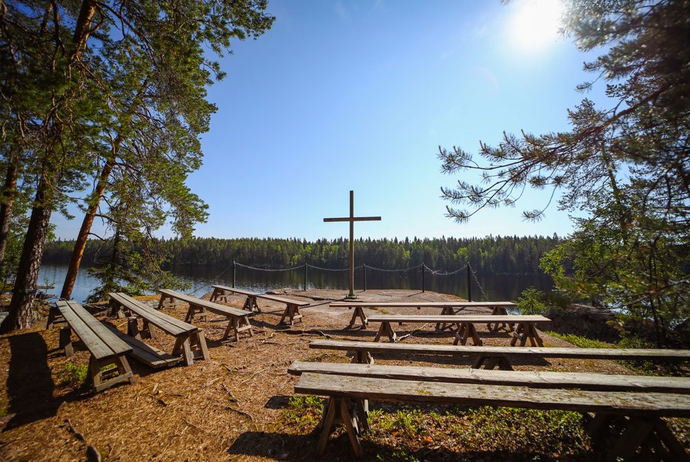
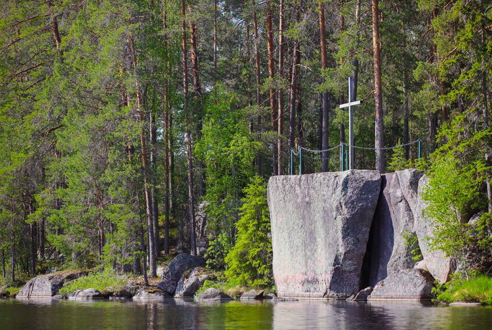
Messukallio rises on the shores of Kaidatvedet in Parkano. This granite rock is a natural landmark and has historically served as a church site. Messukallio is formed from granite that is 1880–1870 million years old, originating deep beneath the ancient Svecofennian mountain range. It is one of the youngest granites in the Geopark area. The stone is coarse-grained and reddish in color, with large areas of it visible at the top of Messukallio. The surface of the rock is mostly weathered and rugged, but in some places at the top, traces of glacial flow can also be seen.

Messukallio is said to have received its name from churchgoers traveling across the lake. The rock is located along the old Kyrönkankaan winter road, which was used in summer by boat. Once, a group of locals were traveling to the Parkano church when they encountered a fierce storm on the lake and had to land near the rock, causing them to be late for the service. However, on the rock, the oldest among them began reading the Bible aloud, and the people felt a sense of relief.
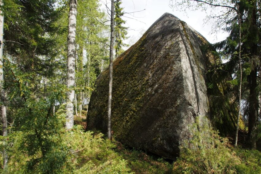
Sormikivi is one of the largest erratic boulders in the Geopark area. Its shape resembles a purse, which is why it is also called Kukkarokivi (Purse Stone). Sormikivi is the largest erratic boulder in Parkano. The stone, located on the shore of Kaidatvedet, consists of locally sourced pink granite.

Sormikivi was formed during the last Ice Age when the continental glacier detached the stone from the bedrock and transported it to its current location. The angular shape of the stone suggests that its journey was relatively short. According to local folklore, the stone is said to have been thrown to its current position by a giant. Sormikivi is located along the Käpykintukka nature trail, on the shores of Kaidatvedet.
Kustaa-hirven luontopolku (Kustaa Elk Nature Trail) is especially inviting for children and families to enjoy nature, move around, and engage in activities together.
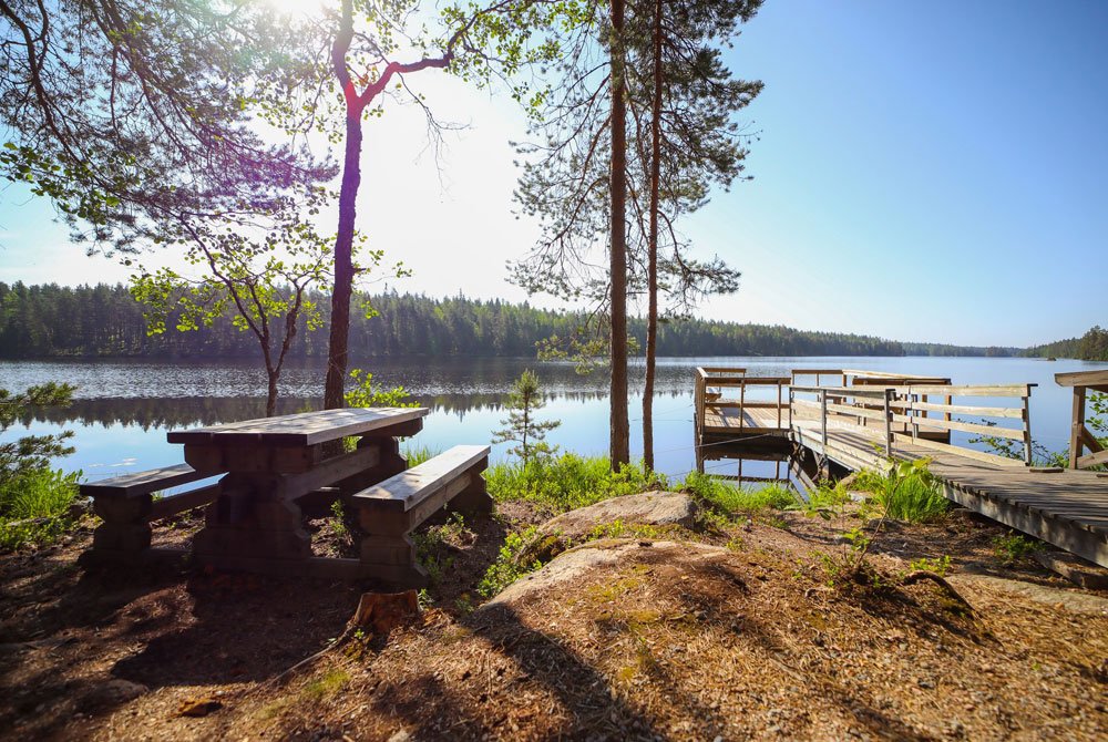
The trail starts at the Metsämuseo (Forestry Museum), and its surrounding area, complete with fireplaces and picnic tables, offers a great spot for a snack by the lake.

