Lauhanvuori – Hämeenkangas UNESCO Global Geopark
Nature sites and hiking trails
Nature sites and hiking trails
Lauhanvuori–Hämeenkangas UNESCO Global Geopark is a nature tourism gem in western Finland, showcasing the region’s valuable geology, nature, and culture. It integrates sustainable hiking and tourism services across multiple municipalities, including areas from South Ostrobothnia, Kauhajoki, Isojoki ja Karijoki, Pirkanmaa, Parkano and Kihniö and Satakunta, Kankaanpää, Karvian, Jämijärvija Siikainen, creating a unified natural tourism area for visitors to explore.
The Geopark’s story illustrates how a mountain range, formed nearly two billion years ago, has eroded into the current landscape, with bogs, forests, river valleys, and ridges. The area’s geology preserves traces of this ancient range’s rise and fall. It features some of southern Finland’s largest untouched wilderness bogs and showcases charming villages, churches, stone bridges, and historical buildings reflecting local history and culture.

UNESCO Global Geoparks tell the story of the Earth through their internationally significant geology, living nature, landscapes, and cultural heritage. Geoparks are the third prestigious regional status from UNESCO, alongside World Heritage Sites and Biosphere Reserves. They promote the preservation of geological heritage, environmental education, and sustainable development, often through sustainable tourism.
In 2023, the UNESCO Global Geoparks network included 177 Geoparks across 46 countries. Finland has four Geoparks in the network: Rokua, Lauhanvuori – Hämeenkangas, Saimaa, and Salpausselkä. The Kraatterijärvi Geopark has applied for membership in the network.

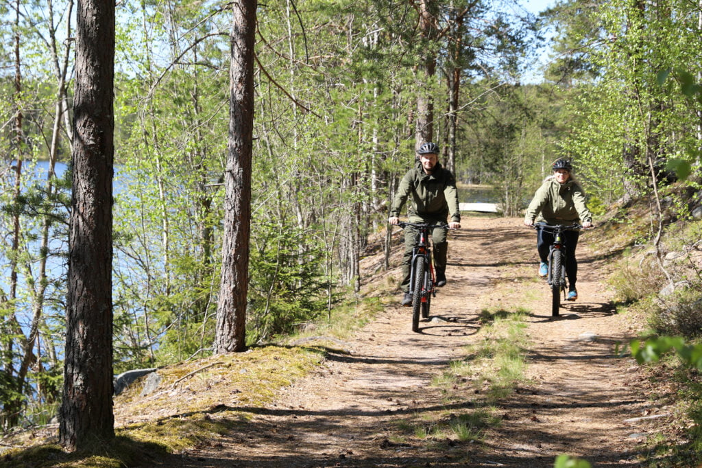
The 137 km cycling route traverses the quiet village roads, wilderness trails, and lakeside landscapes of Northwestern Pirkanmaa and Northern Satakunta. It’s an ideal route for those seeking a peaceful and scenic bike ride in the Finnish countryside.
Moderately challenging
Lenght 140,4 km, duration – 9h 45 min
The route passes through the towns of Parkano, Karvia, and Kihniö, as well as Geopark sites like Kaidatvedet, Alkkianvuori, and Neva-Lyly. It also connects to attractions such as Aitoneva Peat Museum, Käskyvuori, Kauhaneva-Pohjankangas National Park, and Hämeenkangas.
The suggested direction is clockwise, following mostly paved and well-maintained gravel roads. The route is digitally guided via a GPX track on Outdooractive